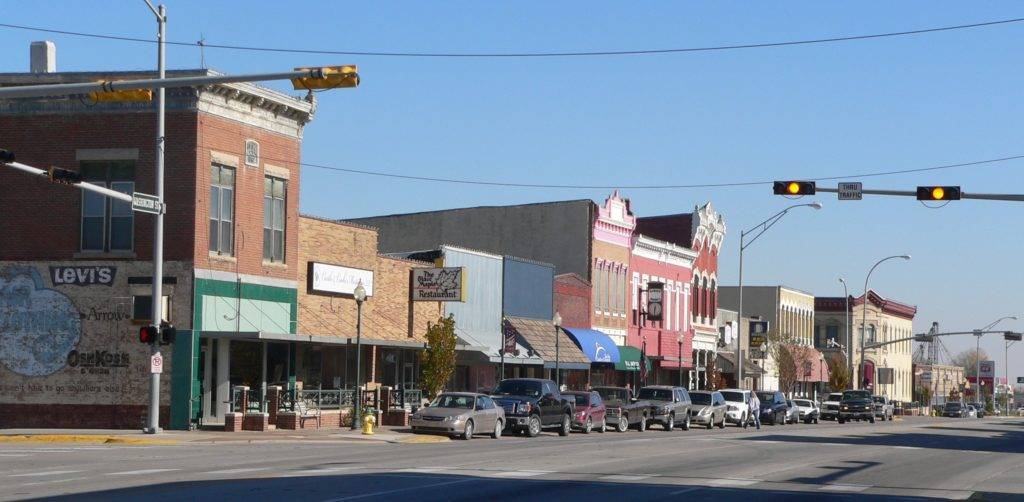
Visit the Official website for the City of Blair, NE
The City of Blair is located in eastern Nebraska on the Missouri River, approximately 20 miles north of the metropolitan Omaha area. Highways that run through Blair include Nebraska Highway 133 (Blair High Road), US Highway 30, US Highway 75 and Nebraska Highway 91. Interstate 29 is fifteen minutes east on Highway 30, and Interstate 680/80 is twenty-five minutes south on Highway 133.
As of 2022, Blair had a total population of 8,012. In Nebraska, the City of Blair is designated a City of the First Class.
Blair is the county seat of Washington County (population of 21,065). The city covers a total area of 5.5 square miles.
Blair City Hall is located at 41° 32′ 33.55″ North, 96° 8′ 9.3048″ West (41.542655, -96.135918). The elevation is 1089 feet. The Public Land Survey System (PLSS) designation is Section 12, Township 18 North, Range 11 East of the Sixth Principal Meridian, Washington County.